Water licence locations
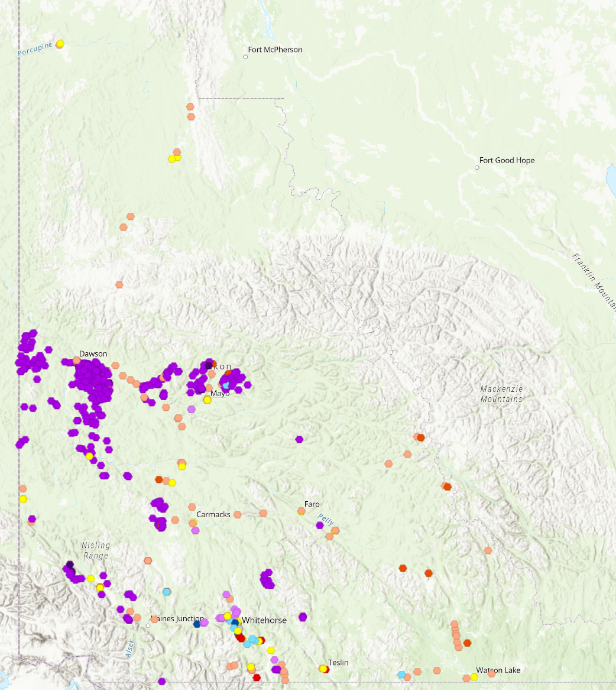
The Government of Yukon's online interactive web mapping application, GeoYukon, contains water licence locations. The water licence layers are found under the Environmental Monitoring layer group.
GeoYukon provides the following information to support your licence application:
- The nearest Yukon community.
- Geographic coordinates (latitude and longitude).
- Potential locations of nearby water users or affected users.
- Wetland locations and classification.
- Boundaries of First Nation Traditional Territories and First Nation Settlement Land parcels.
- The location of existing roads and trails.
- Land use and tenure, including placer, quartz, coal and oil and gas claims.
You can use GeoYukon to prepare maps and drawings to meet the Board's mapping standards. Have questions about creating a map? Contact the Secretariat.